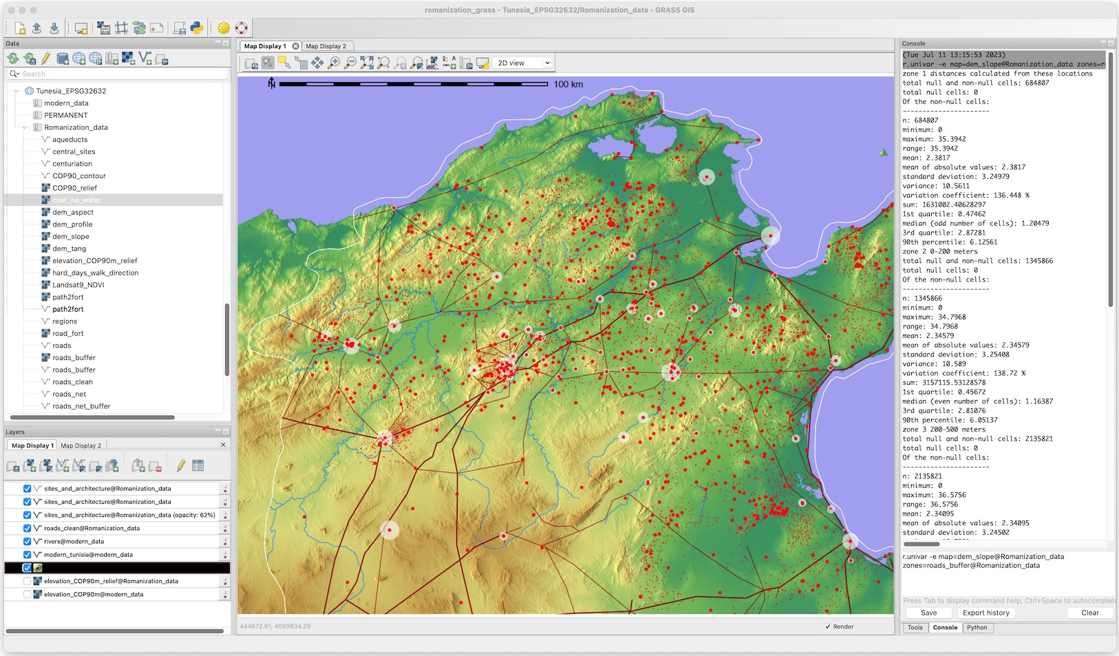
I use and develop geospatial technologies for research on the long-term spatial dynamics of socioecological systems and teach a graduate course in spatial technologies for research. I am also a member of the GRASS GIS development team and Project Steering Committee, and a co-investigator on a new National Science Foundation project to grow the GRASS user and developer communities.
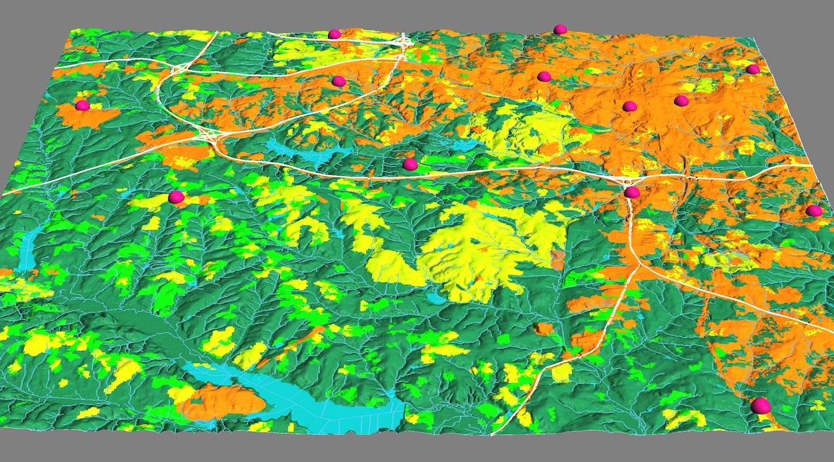
 The Geographic Resources Analysis Support System, GRASS GIS, is a geographic information system (GIS) used for data management, image processing, graphics production, spatial modeling, and visualization of many types of geospatial data. It is free and open-source software (FOSS) released under GNU General Public License (GPL). GRASS is member project of the Open Source Geospatial Foundation.
Originally developed by the U.S. Army Construction Engineering Research Laboratories(USA-CERL, 1982-1995), a branch of the US Army Corp of Engineers, as a tool for land management and environmental planning on public lands, GRASS has evolved into a powerful software suite, with a wide range of applications in many different areas of scientific research.
GRASS currently is used in research, academic, government, non-profit, and private sector settings around the world. In the US, governmental agencies using GRASS include NASA, NOAA, USDA, DLR, the National Park Service, the U.S. Census Bureau, and USGS.
I maintain GRASS for Macintosh apps. Other GRASS information and software can be found at the…
Other open source geospatial software can be found at the OSGeo Foundation site